Whittlesea Planning Scheme: Maps, Zones, Overlays Explained
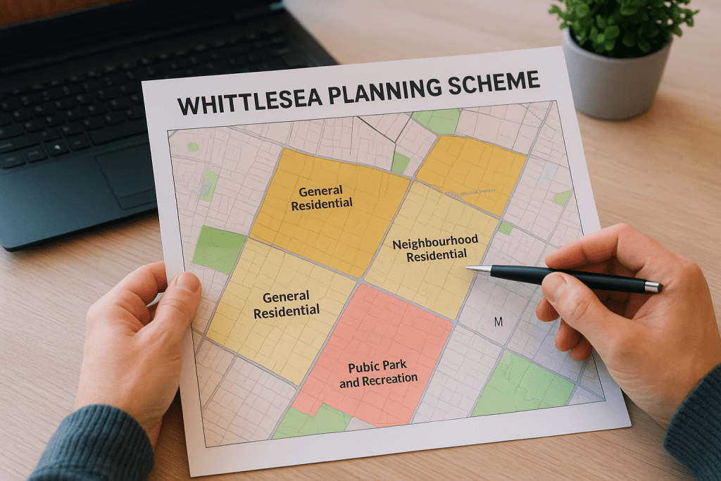
If you’re planning to build, renovate, or develop property in the City of Whittlesea, the Whittlesea Planning Scheme is the document that determines what you can and can’t do with your land. It sets out the zones, overlays, and local policies that shape every planning permit application, from a rear extension on an existing home to a full dual occupancy development. Understanding this scheme matters because getting it wrong costs time and money. A proposal that doesn’t align with the relevant zone provisions or overlay controls will likely face objections, conditions, or outright refusal from council. At Transformer Homes, we build custom homes, renovations, and dual occupancy projects across Melbourne’s northern suburbs, including the City of Whittlesea. We deal with these planning controls on a regular basis, so we know how they affect real projects on real blocks of land. This article breaks down the key components of the scheme, including its maps, zones, and overlays, so you can walk into your next project with a clear picture of what the planning framework actually requires. We’ll also cover recent amendments and reviews that may affect your property. What the Whittlesea Planning Scheme controls The Whittlesea Planning Scheme operates under Victoria’s Planning and Environment Act 1987 and sits within the Victoria Planning Provisions (VPP) framework. It applies to the entire municipality and governs every land use decision, subdivision, and building project that requires a planning permit. The scheme doesn’t just tell you what you can build; it tells you how, where, and under what conditions. Land use and development standards Every parcel of land in Whittlesea sits within a zone that dictates the permitted uses for that land. Residential zones, for example, specify whether you can add a second dwelling, how high a structure can be, and what setback distances you need from property boundaries. The General Residential Zone (GRZ) and Neighbourhood Residential Zone (NRZ) are the two most common zones in established suburbs, and each comes with different limits on density and building height. If your land sits in a Neighbourhood Residential Zone, council applies stricter controls on height and site coverage than in a General Residential Zone, which directly affects your design options from the outset. Overlays and local policies Overlays sit on top of zones and add an extra layer of requirements that apply to specific properties. These controls address particular characteristics of the land rather than general land use. In Whittlesea, common overlays include: Vegetation Protection Overlay (VPO): restricts removal of significant trees without a permit Heritage Overlay (HO): applies to properties with recognised historical or architectural significance Flood Overlay (LSIO/SBO): triggers additional requirements for properties in flood-prone areas Development Contributions Plan Overlay (DCPO): applies to growth corridor land subject to infrastructure levies Local planning policies then guide how council’s decision-makers assess your application, covering matters such as neighbourhood character, sustainable design outcomes, and open space requirements. Why it matters for building and renovating The Whittlesea planning scheme directly shapes what you can build, how large it can be, and whether you need a planning permit in the first place. Before you commission a designer or start pricing builders, understanding your zone and overlay situation can save you thousands of dollars in design fees spent on a proposal that council will never approve. Skipping the planning check early is one of the most common and costly mistakes property owners make before starting a project. Permit triggers and design constraints Your zone determines which projects trigger a planning permit requirement and which can proceed under permitted development rights. A rear extension in a General Residential Zone might not need a permit at all, but the same project on land covered by a Heritage Overlay almost certainly will. Overlays also impose specific design standards that your architect or building designer must address from the start, not as an afterthought once plans are drawn. Common situations where your zone or overlay directly affects your project include: Dual occupancy proposals that fall outside the allowable density for a Neighbourhood Residential Zone Extensions that exceed height or setback limits without a permit to vary them Tree removal on land subject to a Vegetation Protection Overlay How to find the right maps, zones and overlays The Victorian Government provides a free online tool called Planning Maps Online that gives you instant access to the zone and overlay information for any property in the state. Enter your property address and the map displays every planning control that applies to your land. Checking your zone before speaking to a designer takes under five minutes and can fundamentally shape the brief you give them. Using Planning Maps Online Planning Maps Online is hosted by the Department of Transport and Planning and covers all Victorian municipalities, including Whittlesea. Once you locate your property, click any zone or overlay to read the relevant scheme provisions directly. The tool links through to the full planning scheme text, so you can check permit triggers without leaving the site. Look for these when you open your property in the tool: Your zone (e.g. General Residential Zone, Neighbourhood Residential Zone) Any overlays that apply to the land The clause numbers for each control Downloading the scheme documents For a detailed read of the Whittlesea planning scheme, use the Planning Schemes Online portal maintained by the state government. Zone clauses and overlay provisions sit within the same document, and you can search by clause number to find exactly what applies to your project. Both the zone and overlay documents also reference any incorporated documents that form part of the scheme, such as local structure plans or development contribution frameworks that affect growth-area land in Whittlesea. How to interpret zones and overlays for your project Once you identify your zone and overlays, you need to understand what each control requires before assessing whether your project is feasible. The Whittlesea planning scheme uses specific language: "as of right" means no permit is needed, "permit required" means council must assess your application, and "prohibited" means
